Key points
- The USGS-led Aleutian Arc expedition is using a CTD to profile conductivity, temperature and depth through the water column.
- Where hydrothermal activity is suspected, CTD profiles reveal sharp temperature spikes, turbidity plumes caused by mineral precipitates and elevated metal concentrations.
- Niskin bottles on the CTD rosette collect discrete water samples for geochemical signatures and environmental DNA analysis.
- CTD data guide site selection for biological sampling and for dives by the U.S. Navy submersible Alvin.
A USGS-led expedition in the Aleutian Arc off Alaska will provide critical information on energy resources, underwater earthquakes and other hazards, seafloor habitats, and biological resources, including key fisheries, as well as potential seabed minerals. Scientists are collecting critical environmental data using an oceanographic tool known as a CTD.
Exploring the deep ocean along the Aleutian Arc requires a suite of advanced tools to investigate the intricate connections between marine ecosystems and their dynamic environment. One of the most valuable instruments aboard any deep-sea exploration cruise is the CTD, which stands for Conductivity, Temperature, and Depth. This essential oceanographic tool provides detailed information on the physical and chemical structure of the water column—from detecting hydrothermal vents to collecting environmental DNA (eDNA), genetic material that organisms have shed into the surrounding water.
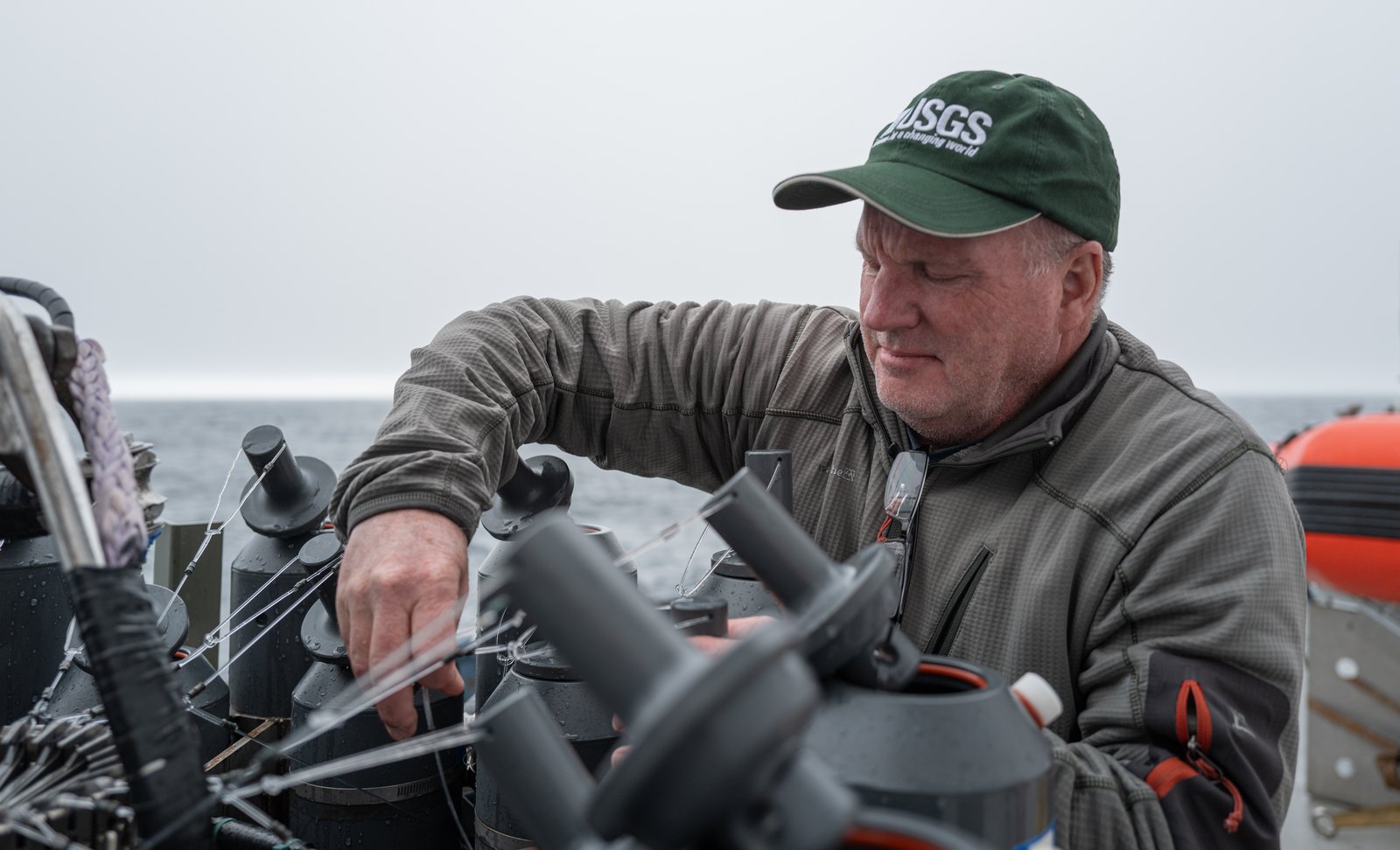
Deep-sea benthic communities found along the Aleutian Arc are sensitive to subtle environmental gradients. A CTD profile helps pinpoint areas where these communities might thrive by revealing thermoclines; oxygen minimum zone; and variations in salinity, turbidity, and chemical composition. In regions where hydrothermal activity is suspected, CTD profiles often reveal sharp temperature spikes, plumes of turbidity caused by mineral precipitates, and elevated concentrations of metals or other chemical tracers.
Each CTD is equipped with an array of sensors and a rosette of Niskin bottles, which collect discrete water samples at targeted depths. On this expedition, these samples are analyzed for geochemical signatures and used in eDNA analyses, enabling researchers to detect “who is there,” including cryptic species that are difficult to find. This integration of physical, chemical, and biological data help establish connections between water column properties and the distribution of deep-sea life.

Combined with data collected during U.S. Navy’s Alvin submersible dives and seafloor mapping, CTD data are crucial in guiding site selection for biological sampling and in interpreting the conditions shaping habitats along the Aleutian Arc. This integrated approach supports both scientific discovery and the informed stewardship of deep-sea habitats and resources.
[Read more about the Aleutian expedition](/centers/wetland-and-aquatic-research-center/science/seafloor-benthic-mapping-and-characterization-0)