Key points
- The expedition is exploring the Aleutian Arc, a 3,000 km volcanic chain encompassing 56 regions of known subaerial hydrothermal activity.
- Deep-sea hydrothermal activity has yet to be discovered along the arc; the team is running tow-yo hydrographic surveys to search for vent plumes.
- Any venting locations found become dive targets for the U.S. Navy human-occupied vehicle Alvin, operated by Woods Hole Oceanographic Institution.
- Deep-sea mineral types include seafloor massive sulfides, phosphorites, ferromanganese crust and manganese nodules, at depths from 400 to more than 5,000 meters.
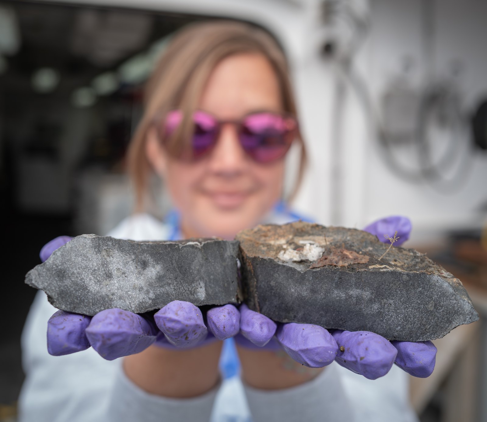
A USGS-led expedition in the Aleutian Arc off Alaska will provide critical information on energy resources, underwater earthquakes and other hazards, seafloor habitats, and biological resources, including key fisheries, as well as potential seabed minerals. Scientists are investigating potential hydrothermal mineral specimens on the seafloor.
Seabed minerals form when dissolved metals in seawater or hydrothermal fluids precipitate over timescales of thousands to millions of years. Mineral types found in deep-sea environments include seafloor massive sulfides, phosphorites, ferromanganese crust, and manganese nodules. These minerals are found in all ocean basins at depths ranging from 400 m to more than 5,000 m; however, the conditions under which these minerals form potential resources are more limited.

Read more about marine minerals in Alaska
During this expedition we are exploring the Aleutian Arc, a chain of active volcanoes which extends 3,000 km from the Gulf of Alaska to the Kamchatka Peninsula and encompasses 56 regions of known subaerial hydrothermal activity. Recent National Oceanic and Atmospheric Administration (NOAA), Bureau of Ocean Energy Management (BOEM), and USGS mapping efforts revealed seamounts, sediment-filled basins, and other seafloor features along the arc, providing preliminary targets for our expedition to investigate.
Deep-sea hydrothermal activity has yet to be discovered along the Aleutian Arc. Onboard the Office of Naval Research’s Research Vessel Atlantis, we are conducting hydrographic surveys to search for locations of hydrothermal venting. Employing the “tow-yo” technique, we raise and lower sensors through the water column while slowly transiting over features of interest, searching for anomalies in temperature, turbidity, and chemical composition that are characteristic of hydrothermal vent plumes. Any identified venting locations will become dive targets for the U.S. Navy’s human-occupied vehicle (HOV) Alvin(operated by Woods Hole Oceanographic Institution), and scientists will descend with the aim to discover, collect, and characterize any hydrothermal mineral specimens. Massive sulfide minerals may form at hydrothermal vents, which in some locations may result in seafloor massive sulfide deposits. We’re particularly interested in better understanding how, and where, such deposits form in arc environments such as the Aleutians.
USGS scientist Katlin Adamczyk holds up rock samples from the seafloor collected during the Aleutian Islands expedition.

More than half of the United States’ territory is underwater, yet much of the submerged portions within the Exclusive Economic Zone remain unexplored and uncharacterized. Each day during the expedition, weather permitting, scientists from the USGS and BOEM are using the HOV Alvinto accomplish a range of scientific objectives, including ocean exploration. In the absence of hydrothermal venting, scientists are still on the lookout for other evidence of past hydrothermal venting, such as altered volcanic material or hydrothermal minerals, especially near regions of known volcanic and subaerial hydrothermal activity.
Learn about the Global Marine Mineral Resources Project

This expedition showcases the cooperative interagency leverage between the expert research capabilities of the USGS, regulatory authority for offshore federal resources through BOEM, and marine environment and resources stewardship through NOAA’s Office of Ocean Exploration and Ocean Exploration Cooperative Institute (OECI). Several academic institutes, such as the National Deep Submergence Facility and operators of the Academic Research Fleet, also serve vital roles, including vessel and HOV availability and subject matter expertise in deep-sea characterization. Together, we can accomplish vital interdisciplinary science to better understand challenging deep-sea environments and resource potentials.
[Read more about the Aleutian expedition](/centers/wetland-and-aquatic-research-center/science/seafloor-benthic-mapping-and-characterization-0)