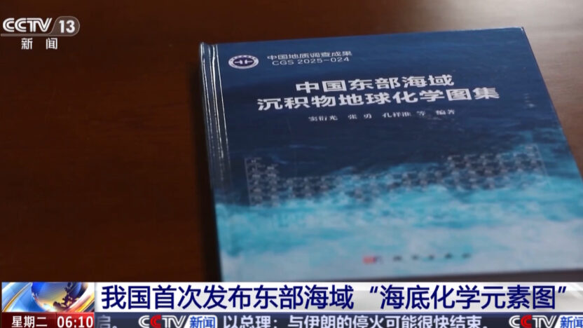
China has released a national atlas of deep-sea mineral deposits, signaling that Beijing is treating seabed resource mapping as a state-scale program and adding pressure on the U.S., Japan, and other countries building out their own seabed mining efforts.
The atlas, announced this month by the China Geological Survey, draws on two decades of research and samplings at more than 10,000 locations. It maps the locations and concentrations of dozens of seabed resources across the East China Sea and the Yellow Sea — waters where China claims territory that neighboring nations dispute. The South China Sea is not covered.
Backed by a Five-Year Plan
The release aligns with a recently approved Chinese five-year plan that lists deep-sea minerals as a development priority. The sediments in question are rich in cobalt, nickel, manganese, and rare earths — the same materials U.S., Japanese, and European programs are pursuing to cut dependence on Chinese supply.
China already controls most of the world’s supply of key critical metals and rare earths and has used that dominance politically, including export restrictions against the U.S. and Japan during past disputes.
Pressure on Rival Programs
The announcement lands as other governments accelerate their own work. Japan said in February it had retrieved rare-earth-rich mud from depths of more than 6,000 meters, which Prime Minister Sanae Takaichi called a “world’s first.” Tokyo and Washington have since committed to support each other’s seabed projects. The Trump administration, meanwhile, is preparing lease sales near American Samoa and plans to permit commercial mining outside U.S. territorial waters without international approval.
“China is pouring enormous resources in an effort to emerge as a world-leading oceanographic power,” Bruce Jones of the Brookings Institution told The New York Times, noting the U.S. historically led in ocean science and that China is closing the gap.